 Location: HomeProductsPlant & Animal Science > Plant Physiology and Ecology > Unmanned Aerial Vehicle > AG-HyperDrone-LIDAR
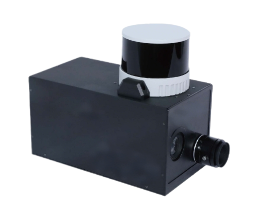
Product Introduction

UAV Hyperspectral
Passive remote sensing detection
Stable software functions, real-time calibration, inversion output
Forestry/geology/water quality/ecology/military, etc
Expanding to more platforms

UAV Lidar
Active remote sensing detection
Light-independent, all-day measurement
Large angle, long distance, fast speed, high resolution
Strong resistance to active interference with penetration ability
3D spatial distribution

Advantage of all-in-one
Multiple mounting platforms are available
Synchronized acquisition, control
Data stitching, processing, calibrating
Powerful data processing capabilities
Data fusion of hyperspectral, LiDAR and thermal infrared
application area
-
 Site Detection
-
 Environmental Monitoring
-
 Unmanned Monitoring
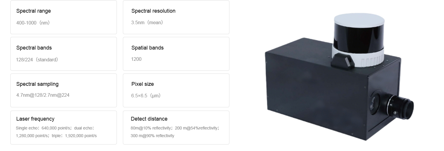
Product parameters
Learn more Product Specification.
Theroy & Publications
We use cookies to improve your experience. By your continued use of this site you accept such use. To change your settings please see our cookie.